Patio Covers in Bushland, TX
Unincorporated, which changes the legal position entirely, on the highest-value housing stock in this service area and the largest lots near the city.
No obligation. Every estimate starts at the house, looking at the slab, the wall you would attach to and where the afternoon sun actually lands.
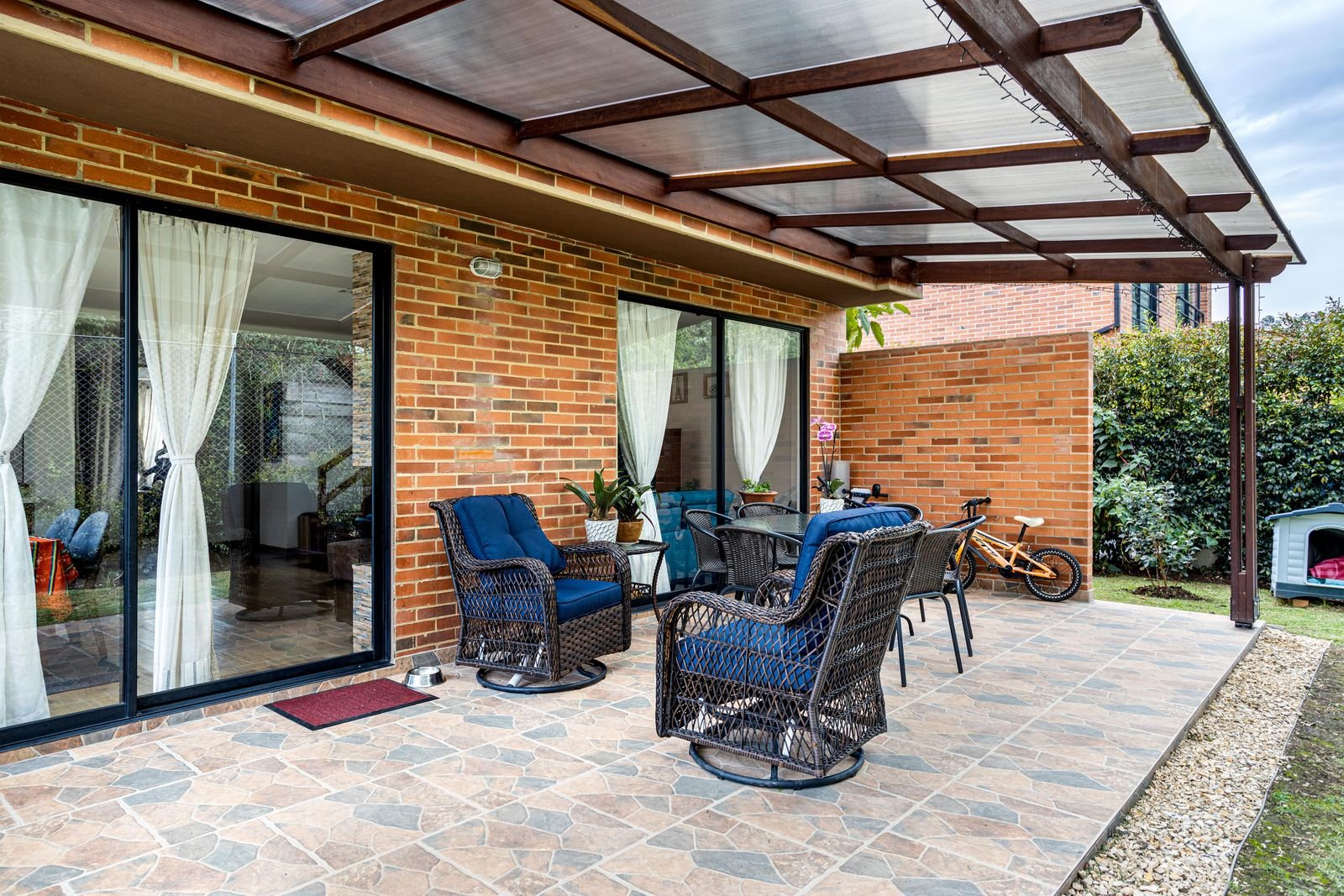 Attached patio cover · illustrative
Bushland
Bushland at a glance
Every figure below comes from a named public source. Where we could not verify something, this page says so instead of filling the gap.
Population from ACS 2024 five-year estimate. Design wind and snow from ASCE 7-16 wind and snow hazard data; permit and code details from each jurisdiction's own published material.
Permits
Unincorporated, so the municipal code adoption does not reach here
We confirm the current position for your specific address before quoting. Fee schedules and code adoptions change, and a page that was right last year is not a substitute for asking.
Bushland is not a city. It is a Census designated place, confirmed against the Census incorporated places layer, the Census geocoder and the historical record. That is the most important fact on this page, because it changes which law applies.
Texas Local Government Code section 214.212, which makes the International Residential Code the residential building code, applies in a municipality. Bushland is not one, so it does not reach here. The relevant provision instead is Chapter 233, Subchapter F, which applies only to a county that has adopted a resolution invoking it and that meets the statute's location and population test. Where it does apply, inspections are performed by private qualified inspectors at foundation, framing and completion, and the statute forbids the county from charging a fee to enforce those standards.
Whether Potter County has adopted that resolution we could not verify. The county website lists no building department, no building permit office, no code enforcement and no floodplain permitting page. So we will not tell you no permit is required here. We will tell you that no county building permit programme is published, and that we confirm the position for the specific address before quoting.
The ground
The bluntest shrink and swell statement in any county survey here
The 1980 Potter County soil survey maps eight general units, and it is more direct about the consequences than any other survey in this region. On its Pullman unit it says: the potential is low for urban development, Pullman soil is dominant, and on this soil the high shrink and swell potential, low strength, and high risk of corrosion to uncoated steel pipe are limitations to non-farm development.
The survey names Bushland only in an elevation statement, not in a map unit description, so the specific unit under the community is not established. The county's flat High Plains upland unit is the Pullman one.
Two things we do with that. Footings get designed for movement, with depth and drainage as the controls. And post bases and anchors go in galvanised or coated, because the survey names corrosion to uncoated steel as a limitation in the same sentence as the shrink and swell.
On the record
The best-documented hail record of any small place here
Bushland has more dated, measured storm reports than any other small community in this service area. The National Weather Service logged 0.50 inch hail four miles east of Bushland at 02:49 UTC on 5 May 2024, 0.75 inch hail eight miles northeast twelve minutes later, and 0.88 inch hail one mile north on 2 June 2024, that last one supported by multiple reports and photographs.
There is also a dust storm report eight miles east southeast on 27 March 2014 with visibility at times down to a quarter mile, and a freezing rain report two miles north northwest on 13 February 2017 with photographic evidence of ice accretion.
That mix, hail in spring, dust in March, ice in February, is the actual annual duty cycle for an outdoor structure west of Amarillo. It is not one design case. It is four.
The market
The highest-value housing in this service area
Bushland has the highest median home value anywhere we work, $424,900, and the second highest median household income at $146,071. Of the occupied housing units, 100 percent are owner occupied; the ACS records no rental units at all. The community covers 5.98 square miles, the largest land area of any small place here, which is a dispersed large-lot settlement pattern rather than a townsite.
It has grown extraordinarily fast. The published record shows roughly 130 residents from 1965 through 2000, then 1,485 in 2014, 2,234 at the 2020 Census, and 2,779 on the current ACS estimate.
Two other things worth knowing. The USDA Agricultural Research Service runs its Conservation and Production Research Laboratory here, with two research units and large weighing lysimeter installations that measure the energy and water balance of irrigated crops; it is one of the more significant dryland and irrigated water research sites in the Great Plains. And the townsite was dedicated on 3 July 1908 by William Henry Bush and S. H. Smiser on land bought from the Frying Pan Ranch, on the Chicago, Rock Island and Gulf Railway. Bushland marks the midpoint of former Route 66 between Chicago and Los Angeles.
What we build here
Outdoor structures in Bushland
Pergolas & Pavilions
Open rafters or a freestanding solid roof out in the yard. Different footings from an attached cover, and no ledger problem at all.
What it involves →Patio Covers
A roof over the slab you already have. Aluminium, insulated panel or louvered, engineered for 108 mph wind and anchored for uplift.
What it involves →Covered Patios
Slab and cover together, where there is no usable patio yet. One pour, one structure, one set of footings designed as a whole.
What it involves →Questions
About building in Bushland
Do I need a permit for a patio cover in Bushland?
No county building permit programme is published, and that is the most we can honestly say. Bushland is unincorporated, confirmed against the Census incorporated places layer and the Census geocoder, so the state law that makes the IRC the residential code inside a municipality does not reach it.
The relevant statute is Local Government Code Chapter 233, Subchapter F, which applies only where a county has adopted a resolution invoking it. Whether Potter County has done so we could not verify, and the county publishes no building department. We confirm the position for your address before quoting.
Is the ground at Bushland difficult?
The Potter County soil survey is the bluntest in the region on this. On its Pullman unit it states that the potential is low for urban development and that high shrink and swell potential, low strength and high risk of corrosion to uncoated steel pipe are limitations.
The survey does not name a map unit under Bushland itself, so we design for the county-dominant Pullman case: footings to depth, drainage away from the structure, and galvanised or coated anchors because of the corrosion note.
Are Bushland lots big enough for a freestanding pavilion?
Generally yes, and it is the pattern here. Bushland covers 5.98 square miles with roughly 900 housing units, so the lots are large by any standard near Amarillo.
That opens up options a city lot does not. A freestanding pavilion or a detached cover has no ledger, no connection to the house and no brick veneer problem, which removes the single largest design constraint most Amarillo houses face.
Cost
Price a cover for a Bushland address
The calculators take your dimensions, your roof type, your wall and your jurisdiction, and return a band with the permit worked out rather than guessed at.
Nearby
Other places we work
Next step
Send the address and a photo of the wall
What your exterior wall is made of, and which permit desk your address falls under, decide more about the project than the dimensions do.