Patio Covers in Palisades, TX
The village publishes a permit fee for decks, patios and carports specifically, and it is twenty five dollars. Floodplain approval comes first.
No obligation. Every estimate starts at the house, looking at the slab, the wall you would attach to and where the afternoon sun actually lands.
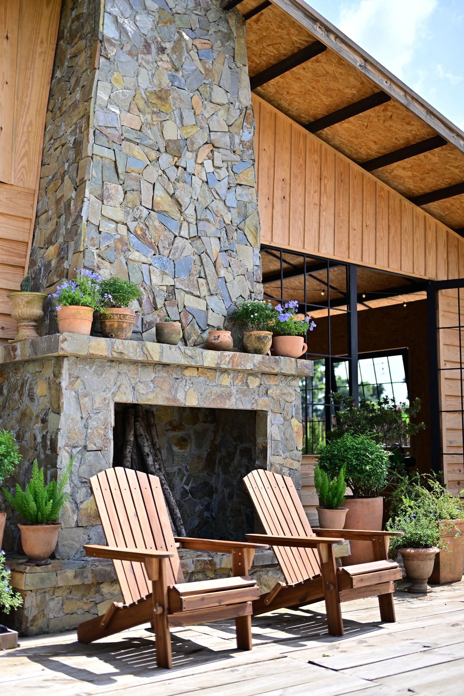 Outdoor fireplace · illustrative
Palisades
Palisades at a glance
Every figure below comes from a named public source. Where we could not verify something, this page says so instead of filling the gap.
Population from 2020 Census count. Design wind and snow from ASCE 7-16 wind and snow hazard data; permit and code details from each jurisdiction's own published material.
Permits
A published fee schedule that names patios and carports
We confirm the current position for your specific address before quoting. Fee schedules and code adoptions change, and a page that was right last year is not a substitute for asking.
Palisades is incorporated under the general laws of Texas as a Type B municipality, and it publishes its permit fee schedule. That schedule is unusually specific for a village of 268 people, and it names our work directly.
Permanent structures over 64 square feet carry a $100 flat filing fee. Remodelling an existing structure at a cost over $10,000 is $50. Decks, patios and carports are $25. Roofing and fencing are $25, a variance is $75, and a building permit extension is $250. Building permit inspections are charged at a rate approved by the Board of Aldermen with a $125 minimum, performed by a village contracted inspector.
The sequencing point matters more than the fees. Flood plain administrator approval is required prior to the issuance of any building permit, the village code contains a Flood Damage Prevention chapter, and the floodplain administrator sits as an ex officio member of the Building Committee. The code references the International Residential Code, although the adopted edition year is not stated in the document.
So on a Palisades job the floodplain question is answered first, not last. Given where the village sits, that is the right order.
The ground
Inside the canyon, on the river
Palisades sits within an upstream section of Palo Duro Canyon. The village's own history describes the canyon as formed through at least four geologic ages, perhaps ninety million years, by water erosion of the Prairie Dog Town Fork of the Red River, and states that the village property encompasses 1.45 miles of that river.
A mile and a half of river frontage inside a canyon is why the floodplain administrator signs off before a permit issues. It is also why we do not talk about ground conditions here in county-average terms. Canyon ground varies over short distances, and the Randall County soil survey describes Palo Duro Canyon soils generally as mostly shallow to very shallow with rock near the surface in places.
We could not verify a specific soil series or a shrink and swell statement for Palisades, so we will not publish one. What we do instead is look at the lot: where it sits relative to the river, what the grade does, and what a footing will actually find when it is dug.
On the record
The water arrived in 1963
We could not verify a dated severe weather event specific to Palisades, and the National Weather Service Amarillo major events archive contains no page naming the village.
The documented water event is a different kind. Lake Tanglewood, formerly Lake Stockton, was completed in June 1962, and by late 1963 the lake had filled and the water had backed all the way up into the Village of Palisades. That is the village's own account of its history, and it explains a good deal about why flood plain administration sits ahead of building permits here.
The market
A 1927 plat and a golf course that was going to happen
Palisades has a documented founding. The Palisades Corporation bought 640 acres from James and Florence Madsen on 27 October 1926 for $25,000, with plans for a nine-hole golf course and recreational facilities, and the plat map was filed on 28 July 1927. The village covers 0.6 square miles, all land.
Median household income is $73,750, plus or minus $7,581, which is a reasonably tight figure. The ACS median property value is $267,200, but the margin of error is plus or minus $169,837, larger than half the estimate, so that number should be quoted with its margin or not at all. Median age is 48.7.
A small, older, settled village on canyon land ten miles south of Amarillo, with river frontage and a permit process that costs less than a hundred and fifty dollars for a covered patio. It is one of the more straightforward places we work, provided the floodplain question is dealt with up front.
What we build here
Outdoor structures in Palisades
Pergolas & Pavilions
Open rafters or a freestanding solid roof out in the yard. Different footings from an attached cover, and no ledger problem at all.
What it involves →Patio Covers
A roof over the slab you already have. Aluminium, insulated panel or louvered, engineered for 108 mph wind and anchored for uplift.
What it involves →Covered Patios
Slab and cover together, where there is no usable patio yet. One pour, one structure, one set of footings designed as a whole.
What it involves →Questions
About building in Palisades
What does a patio permit cost in Palisades?
The published fee schedule names it directly: decks, patios and carports are $25. A permanent structure over 64 square feet carries a $100 flat filing fee, and inspection is charged at a rate set by the Board of Aldermen with a $125 minimum, performed by a village contracted inspector.
Those are the village's own published figures. We confirm the current schedule before quoting, because fee schedules change.
Is Palisades in a floodplain?
We could not verify the FEMA mapping, and the village clearly treats flooding as live. Flood plain administrator approval is required prior to the issuance of any building permit, the code contains a Flood Damage Prevention chapter, and the floodplain administrator sits as an ex officio member of the Building Committee.
The village property encompasses 1.45 miles of the Prairie Dog Town Fork of the Red River, and its own history records water backing up into the village in late 1963 after Lake Tanglewood filled. Answer the floodplain question first on any project here.
What is the ground like on a Palisades lot?
Variable, because it is canyon ground. The Randall County soil survey describes Palo Duro Canyon soils as mostly shallow to very shallow with rock near the surface in places, in country fronted by escarpments of caliche and sandstone.
We could not verify a specific series or a shrink and swell statement for the village, so we will not publish one. On a canyon lot the footing design comes from what the site shows, not from a county average.
Cost
Price a cover for a Palisades address
The calculators take your dimensions, your roof type, your wall and your jurisdiction, and return a band with the permit worked out rather than guessed at.
Nearby
Other places we work
Next step
Send the address and a photo of the wall
What your exterior wall is made of, and which permit desk your address falls under, decide more about the project than the dimensions do.