Patio Covers in Lake Tanglewood, TX
A quarter of the village is water, held back by an 83 foot earth dam rated high hazard, and the houses are the most valuable in this service area.
No obligation. Every estimate starts at the house, looking at the slab, the wall you would attach to and where the afternoon sun actually lands.
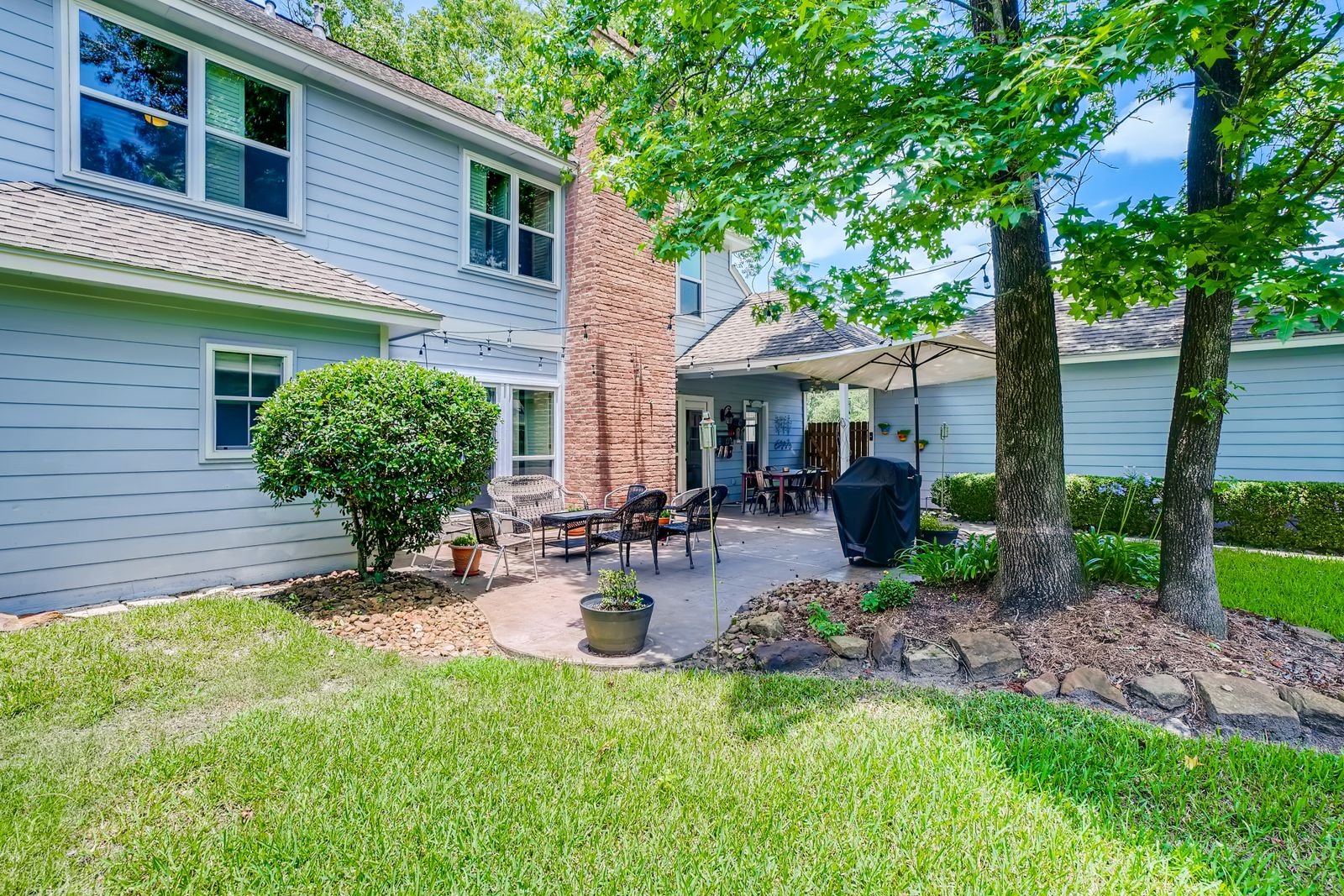 Concrete patio · illustrative
Lake Tanglewood
Lake Tanglewood at a glance
Every figure below comes from a named public source. Where we could not verify something, this page says so instead of filling the gap.
Population from 2020 Census count. Design wind and snow from ASCE 7-16 wind and snow hazard data; permit and code details from each jurisdiction's own published material.
Permits
Incorporated since 1971, with nothing published on permits
We confirm the current position for your specific address before quoting. Fee schedules and code adoptions change, and a page that was right last year is not a substitute for asking.
Lake Tanglewood began in the early 1960s as a private residential resort, developed by Lake Tanglewood, Incorporated, which leased land from the Curry Ranch properties. The company was chartered in December 1965. The community formally incorporated in June 1971, establishing aldermen, a town marshal, a constable and a volunteer fire department, and a nondenominational community church was completed in 1974.
A village website exists but its home page is image-based with no retrievable navigation, and no permits, ordinances, code, fee schedule or building official page could be reached. So the building permit programme, adopted code, architectural committee and any recorded covenants are all unverified here.
Two things follow. First, as a municipality Lake Tanglewood falls under Texas Local Government Code section 214.212, which makes the International Residential Code the residential building code by statute regardless of local adoption. Second, given the village's origin as a restricted land development corporation, recorded covenants are entirely plausible even where we could not find them. Both questions get answered by phone before we quote, and covenants are a matter for your title documents rather than for a web page.
The ground
A high hazard dam, and what that means for a lot
The dam is a matter of public record and worth knowing about if you own here. The United States Army Corps of Engineers National Inventory of Dams lists Lake Tanglewood Dam, identifier TX03587, as an earth dam on the Prairie Dog Town Fork of the Red River in Randall County: 83 feet high, 1,500 feet long, completed in 1965, with normal storage of 4,910 acre-feet, a surface area of 258 acres and a drainage area of 832.7 square miles. Its hazard potential is classified HIGH, its condition assessment is FAIR, and it was last inspected on 3 October 2023. It is privately owned and regulated by the Texas Commission on Environmental Quality.
Hazard potential in that system describes the consequence of failure rather than the likelihood of it, and Randall County has five high hazard dams among its eleven listed. It is context, not alarm. What it does mean is that anything to do with grade, drainage and water on a lot here deserves care.
Two source conflicts we will not paper over. The Village of Palisades records Lake Tanglewood, formerly Lake Stockton, as completed in June 1962 and filled by late 1963; the National Inventory of Dams lists the year completed as 1965. And on which watercourse was dammed, the historical record says Palo Duro Creek while the dam inventory lists the Prairie Dog Town Fork of the Red River. Both are cited as published.
On the record
No dated event under the village name
We could not verify a dated severe weather event specific to Lake Tanglewood, and the National Weather Service Amarillo major events archive contains no page naming the village. Nor could we verify any documented flood event on the lake or the creek; the United States Geological Survey operates stream gauges nearby that would be the place to look.
What applies is the regional design condition, and one local modifier. Canyon terrain does not present wind uniformly: a lot on an exposed rim and a lot down near the water have genuinely different local exposure. That is one of the reasons a walkthrough here changes the design more than it does on a flat suburban lot.
The market
The highest house values, and the oldest residents
Lake Tanglewood has the highest median home value in this service area at $633,600, plus or minus $75,871, and a median household income of $120,625. The median age is 61.8, the oldest anywhere we work, across 389 housing units.
The village covers 1.5 square miles of which 0.4 square miles, 27.4 percent, is water. That is an unusually high water share for a Texas village and it is the defining feature of the place: lakefront and near-lakefront lots in canyon country ten miles from Amarillo.
The population history is worth noting because it runs against the regional trend: 485 in 1984, when it was the third largest town in Randall County, 637 in 1990, 825 in 2000, 796 in 2010 and 686 at the 2020 Census.
An older, higher-value, lakefront market is one where the argument for a covered outdoor space is easy to make, and where the argument for building it properly the first time is easier still.
What we build here
Outdoor structures in Lake Tanglewood
Pergolas & Pavilions
Open rafters or a freestanding solid roof out in the yard. Different footings from an attached cover, and no ledger problem at all.
What it involves →Patio Covers
A roof over the slab you already have. Aluminium, insulated panel or louvered, engineered for 108 mph wind and anchored for uplift.
What it involves →Covered Patios
Slab and cover together, where there is no usable patio yet. One pour, one structure, one set of footings designed as a whole.
What it involves →Questions
About building in Lake Tanglewood
Does Lake Tanglewood require a building permit?
We could not verify. The village website is an image-based page with no retrievable navigation, and no permits, ordinances, code, fee schedule or building official page could be reached.
As a municipality it falls under state law making the IRC the residential building code regardless. And given the village's origin as a restricted land development corporation, recorded covenants are plausible even though we could not find them, so check your title documents as well as calling the village.
Should the dam affect how I build?
Not directly, and it is worth knowing about. The National Inventory of Dams lists Lake Tanglewood Dam as an 83 foot earth dam completed in 1965, holding 4,910 acre-feet with a 258 acre surface and a drainage area of 832.7 square miles, with hazard potential classified HIGH and condition FAIR at its October 2023 inspection.
Hazard potential describes the consequence of failure rather than its likelihood. What it reinforces is ordinary good practice: pay attention to grade, drainage and where water goes on your lot.
Do canyon lots need a different design?
Usually. Wind does not arrive uniformly in canyon terrain: an exposed rim lot and a sheltered lot near the water have different local exposure, and the same cover design is not right for both.
The ground varies too. The Randall County survey describes Palo Duro Canyon soils as mostly shallow to very shallow with rock near the surface in places. That changes how a footing is dug and how it is anchored, which is why we walk these sites before designing anything.
Cost
Price a cover for a Lake Tanglewood address
The calculators take your dimensions, your roof type, your wall and your jurisdiction, and return a band with the permit worked out rather than guessed at.
Nearby
Other places we work
Next step
Send the address and a photo of the wall
What your exterior wall is made of, and which permit desk your address falls under, decide more about the project than the dimensions do.